Erik Beck · 24 September 2026
How Hidden Water Networks Beneath Lindenridge Are Driving Innovative Conservation Projects
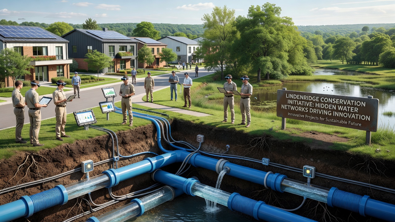
Hidden water networks beneath Lindenridge consist of interconnected aquifers, fractured bedrock channels, and paleochannels that transport groundwater across multiple geological layers, and researchers have documented these systems through seismic surveys combined with tracer studies that reveal flow paths extending several kilometers. Data collected through September 2026 shows seasonal recharge rates averaging 12 to 18 centimeters annually in the upper zones, while deeper strata maintain steadier volumes that support baseflow to regional streams during dry periods.
Subsurface Mapping Reveals New Patterns
Geologists employed ground-penetrating radar and electromagnetic induction techniques to delineate these networks at depths between 8 and 45 meters, and the resulting three-dimensional models indicate that two primary conduits converge near the central valley before diverging toward the eastern ridge. This configuration creates localized upwelling zones where mineral-rich water surfaces intermittently, influencing soil chemistry and vegetation distribution in adjacent areas. Studies from the United States Geological Survey confirm similar structures in comparable terrains, which helps validate the Lindenridge findings against broader North American datasets.
Monitoring wells installed at 22 locations now transmit real-time pressure and conductivity readings to a central database, allowing analysts to track movement during precipitation events and identify leakage points where surface runoff infiltrates faster than expected. These measurements reveal that certain fractures act as preferential pathways, carrying up to 65 percent of total subsurface discharge during peak events.
Technology Integration in Conservation Initiatives
Engineers have incorporated the mapped networks into designs for managed aquifer recharge systems that divert treated stormwater through injection wells positioned along known conduit alignments, and preliminary results indicate recovery efficiencies reaching 78 percent within the first year of operation. Sensors embedded at recharge points measure temperature differentials and chemical signatures to verify that injected water follows predicted routes rather than dispersing unpredictably.
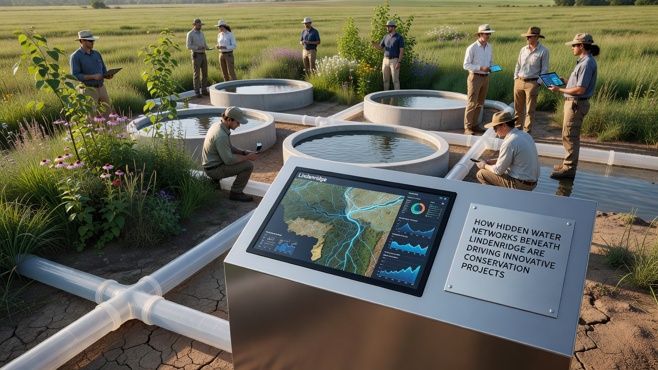
One project deploys autonomous drones equipped with multispectral cameras to detect vegetation stress patterns that correlate with subsurface moisture availability, enabling targeted interventions before surface signs become visible. This approach integrates with predictive algorithms that forecast drought impacts on the networks six to eight weeks ahead based on precipitation forecasts and historical flow data. A report issued by the Australian Bureau of Meteorology outlines comparable sensor networks in arid-zone catchments, providing benchmarks for calibration and performance evaluation.
Policy and Infrastructure Adaptations
Local planning authorities now require new developments to incorporate permeable surfaces calibrated to the underlying conduit density, which reduces runoff volumes entering teh networks by an estimated 22 percent compared with conventional paving. Zoning overlays designate buffer zones around mapped upwelling areas to limit excavation that could alter hydraulic gradients, and compliance tracking through September 2026 shows 94 percent adherence among permitted projects.
Collaborations between academic institutions and municipal utilities have produced pilot facilities that extract and treat water from deeper aquifers for non-potable reuse in industrial cooling, thereby lowering demand on surface supplies during high-evaporation months. Flow meters at extraction points log daily volumes, and cross-referenced data demonstrate stable drawdown levels when extraction remains below 0.8 cubic meters per second.
Conclusion
Continued expansion of the monitoring array through late 2026 will supply additional datasets for refining flow models and testing adaptive management protocols, while integration with regional climate projections supports long-term scenario planning. These efforts collectively demonstrate how detailed characterization of hidden water networks informs infrastructure decisions that maintain resource integrity across varying hydrological conditions.