Anna Walter · 10 September 2026
Tracing Ecological Adaptation Through Lindenridge's Hidden Waterways and Community Efforts
Lindenridge sits amid a network of lesser-known streams and channels that thread through suburban and semi-rural zones, and these waterways have recorded measurable shifts in flow patterns, sediment loads, and species composition over recent decades. Data from repeated field surveys show that several native fish populations have adjusted their spawning timings while certain invasive aquatic plants have expanded their range along the banks. Observers note that the combination of altered precipitation cycles and local land-use changes has created new conditions that favor species with broader tolerance ranges.
Documented Changes in the Waterway Network
Researchers mapped the hidden channels using GPS and drone imagery between 2018 and 2024, and the resulting layers reveal that several tributaries now carry higher nutrient concentrations during spring runoff periods. Water temperature records collected at fixed monitoring stations indicate an average rise of 1.2 degrees Celsius across the main stem over the same interval. These measurements align with broader regional trends reported by the US Environmental Protection Agency in its watershed assessments. Plant surveys document the gradual replacement of cold-water macrophytes by species that tolerate warmer, slower-moving sections, while macroinvertebrate samples show increased abundance of tolerant taxa such as certain midge larvae and reduced numbers of sensitive mayfly genera.
Species Responses and Habitat Adjustments
Field teams have tracked the movement of native amphibians into newly formed side pools created by beaver activity, adn the same pools now support dragonfly larvae that were scarce in earlier counts. Bird counts along the corridors indicate that several migratory species have extended their stopover duration by several weeks, coinciding with the extended presence of aquatic insects. One study released by university ecologists in 2023 found that certain riparian tree seedlings establish more readily on stabilized gravel bars where community-installed log structures have reduced bank erosion. These structures, built from locally sourced materials, also create microhabitats that shelter juvenile fish during high-flow events.
Community-Led Monitoring and Restoration Work
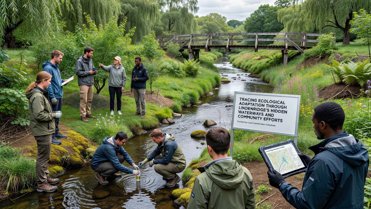
Local volunteer groups began systematic water-quality sampling in 2015, and their monthly reports now feed into a shared database used by regional planners. Participants record dissolved oxygen, turbidity, and conductivity at ten fixed sites, and the resulting time series has helped identify sections where agricultural runoff contributes measurable spikes in nitrate levels. In parallel, school-based programs have planted over 4,000 native shrubs along eroding banks, and survival rates tracked through annual inventories exceed 75 percent in the first three years. These plantings coincide with reduced sediment delivery to downstream pools, according to turbidity readings collected before and after the projects.
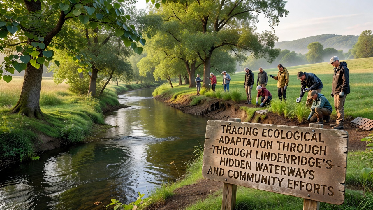
Workshops organized each spring teach residents how to identify early signs of invasive species such as purple loosestrife and Japanese knotweed, and trained volunteers have removed several hundred square meters of these plants from priority reaches. The same volunteers maintain a network of motion-activated cameras that document mammal and bird use of the restored corridors, and the footage has contributed to a citizen-science dataset now referenced in county planning documents.
Integration with Regional Data Sources
County hydrologists have incorporated the volunteer-collected records into models that predict flood risk under different precipitation scenarios, and the outputs guide decisions about culvert replacements scheduled for 2025 through 2027. Cross-checks with satellite-derived vegetation indices confirm that areas with active community plantings show higher greenness values during summer months compared with untreated control reaches. A 2024 report from the Australian Commonwealth Scientific and Industrial Research Organisation on similar temperate waterway systems provides comparative context for the rate of species turnover observed in Lindenridge.
September 2026 Monitoring Round and Next Steps
Plans call for an expanded sampling campaign in September 2026 that will add continuous temperature loggers at five additional sites and pair them with eDNA analysis to detect rare or elusive species. The data will update existing habitat suitability maps and inform grant applications for further log-structure installations. Coordination meetings scheduled with neighboring municipalities aim to align restoration priorities across administrative boundaries so that upstream and downstream actions reinforce each other rather than creating unintended bottlenecks.
Conclusion
Records compiled over the past decade demonstrate that Lindenridge's hidden waterways continue to register shifts in physical conditions and biological communities, while coordinated local efforts supply both data and on-the-ground interventions that shape those trajectories. Continued collection of standardized measurements through 2026 and beyond will allow researchers and residents to evaluate which combination of approaches most effectively supports the persistence of native species under changing environmental conditions.